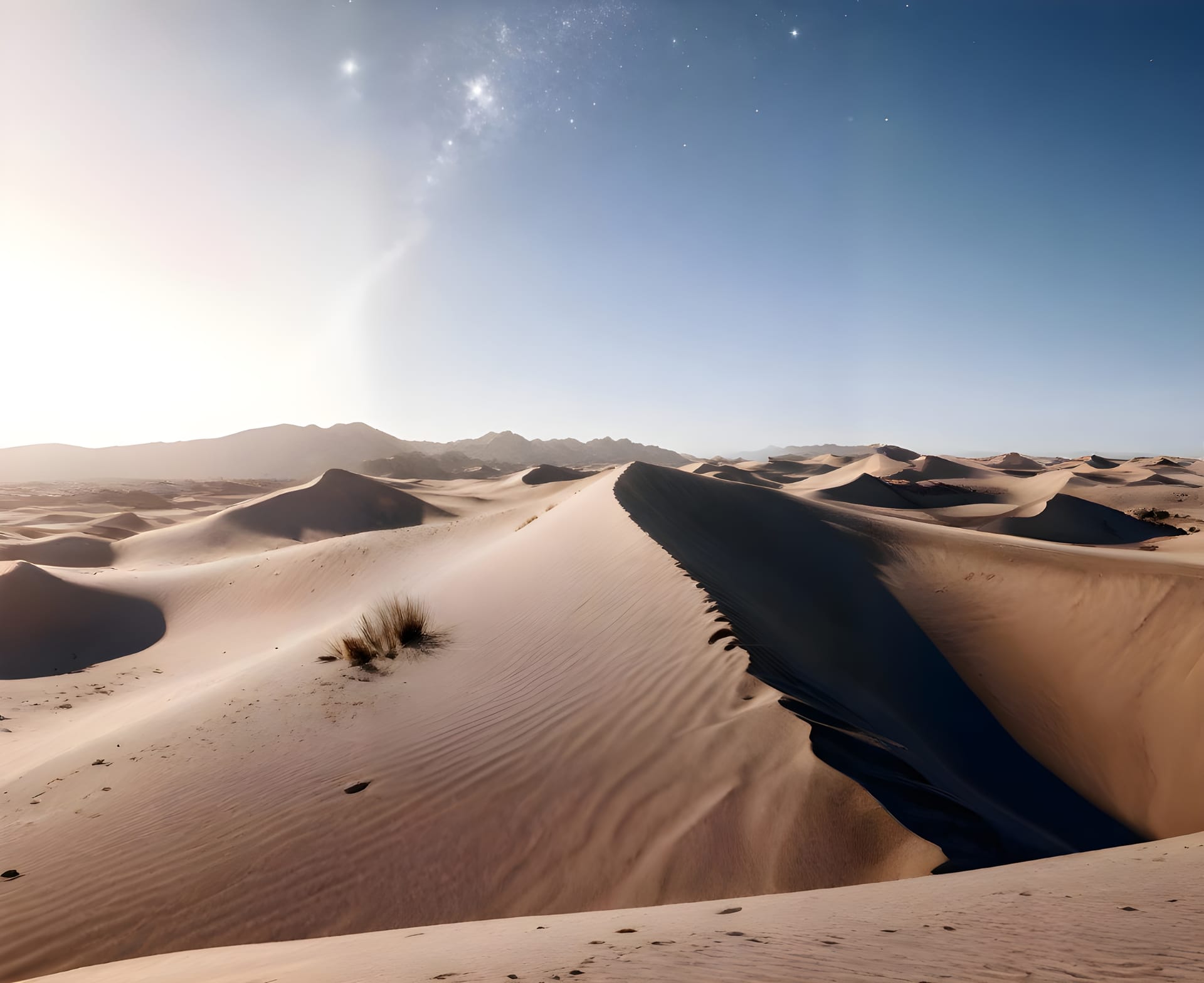
MISSION: Aerial Intelligence
Deploy precision drone surveys with centimeter-level accuracy. Generate orthomosaics, 3D models, and volumetric data in hours, not weeks.
What We Deploy For
Terrain Mapping
Generate high-resolution orthomosaic and DEM
Volume Calculation
Measure stockpile volumes with precision
Progress Tracking
Compare against baseline and detect changes
3D Model Generation
Create photogrammetric 3D mesh model
Recent Deployments
Al Riyadh Industrial Zone
- Excavation 12% ahead of schedule
- Material stockpile at 340m3
- No boundary encroachments
Jeddah Port Expansion
- Aggregate shortage detected
- Crane positioning optimized
- Safety perimeter verified
NEOM Construction Sector 4
- Terrain model generating...
- 32% data processed
- ETA: 2 hours
Survey Arsenal
Orthomosaic Generation
Create geo-referenced aerial maps with sub-centimeter accuracy
Digital Elevation Models
Generate precise terrain models for planning and analysis
Volumetric Analysis
Measure stockpiles, cut/fill calculations with engineering precision
Progress Monitoring
Compare surveys over time to track construction progress
AI Object Detection
Automatically identify equipment, vehicles, and workers
3D Model Export
Generate photorealistic 3D models for BIM integration
Mission Performance Metrics
Real-time analytics from our drone fleet
Ready to Launch Your Mission?
Deploy precision drone surveys and transform how you see your site.
Frequently Asked Questions
Search our knowledge base or browse popular topics below
Our drone systems deliver centimeter-level precision, ensuring every dataset is reliable and ready for engineering or compliance use. We use RTK GPS and ground control points to achieve survey-grade accuracy.
Yes, we operate nationwide with certified pilots and equipment positioned across all major regions including Riyadh, Jeddah, Dammam, and remote industrial areas. Our team can deploy within 24-48 hours.
We use proprietary computer vision models trained on millions of industrial images. Our AI detects PPE violations, safety hazards, and anomalies in real-time with sub-second response times.
Absolutely. Our platform is camera-agnostic and works with any IP camera, existing CCTV infrastructure, or new installations. Setup takes less than 30 minutes per camera with our plug-and-play solution.
Enterprise customers get 24/7 dedicated support with guaranteed 15-minute response times. All plans include onboarding, training, and access to our customer success team.