Precision Data. Real-World Impact.
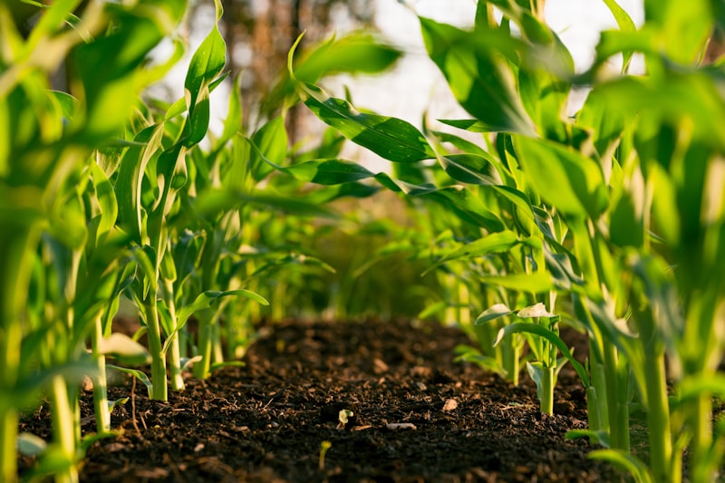
2D & 3D Mapping
Accurate digital elevation models, terrain, or orthophotos.
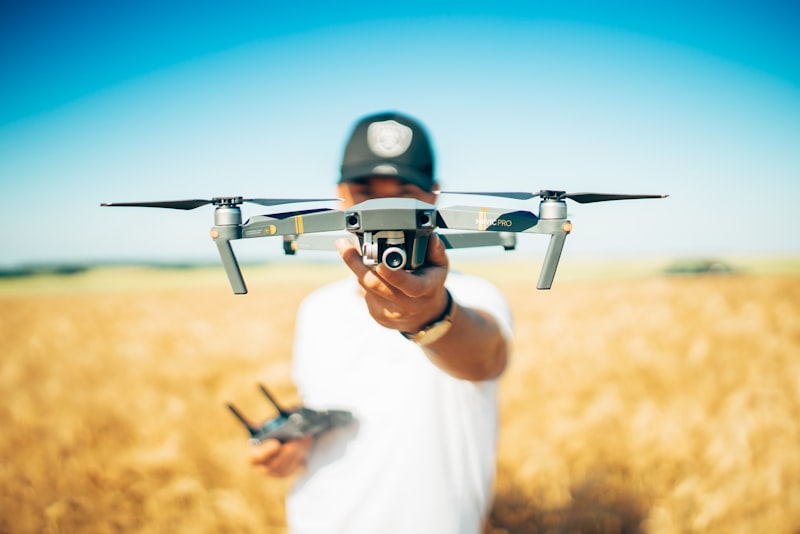
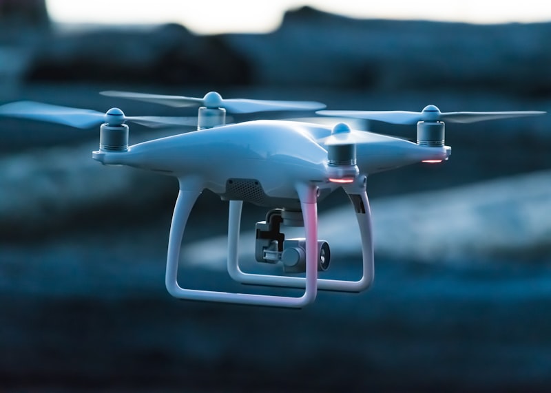
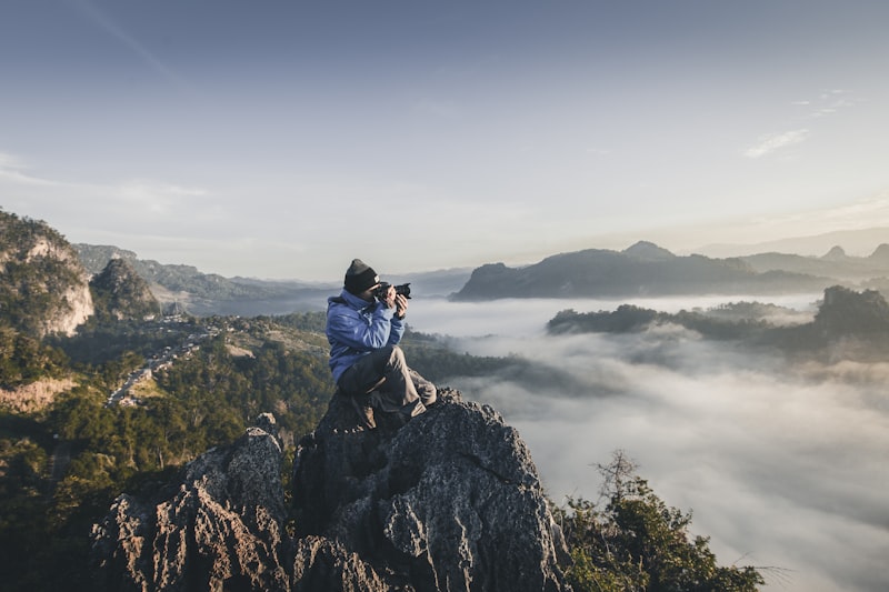
Aerial Photography & Videography
High-impact visuals for media, marketing, and documentation.
Oil Inspection & Safety Gas
Thermal, visual, and structural insights powered by AI.
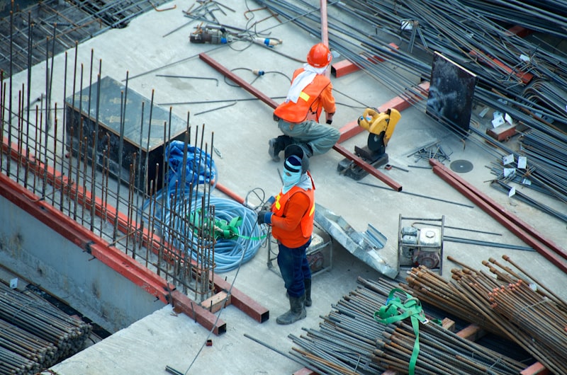
Progress Tracking & Time-Lapse
Real-time visibility for ongoing projects.

360° Virtual Tours
Immersive experiences for stakeholders and clients.
Cinematic Marketing Content
Showcase your projects in stunning 4K or VR.