Where AI Meets the Real World
Send us a message. Let's help you achieve better outcomes.
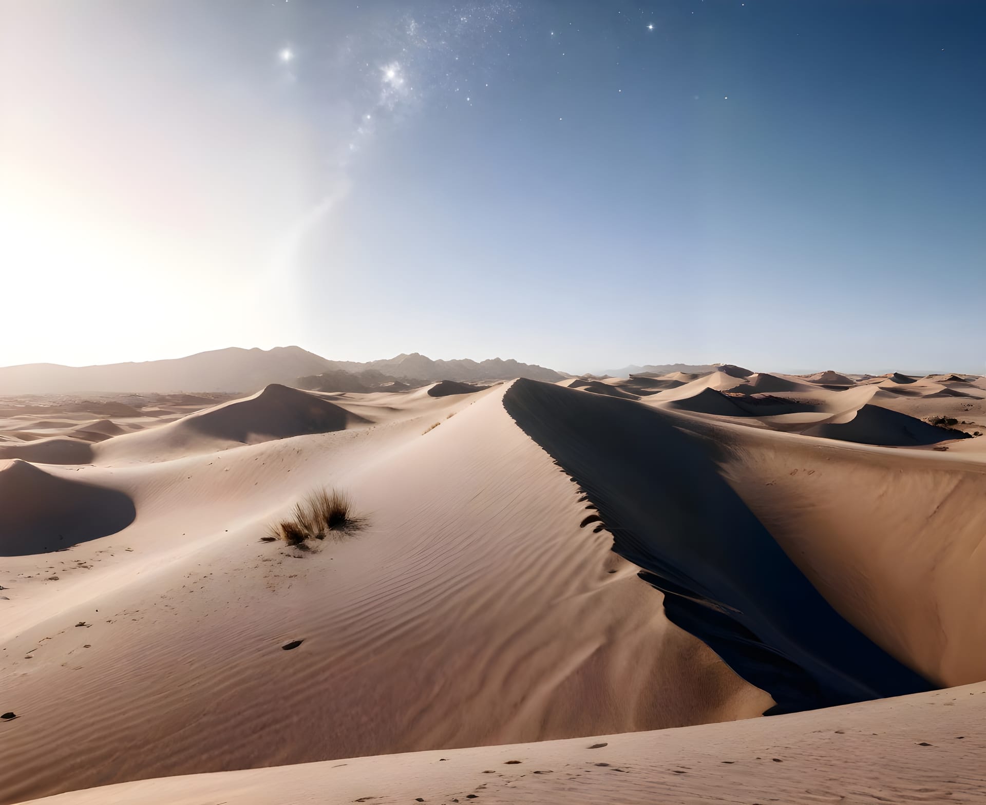
Transform aerial imagery into precise 2D orthomosaics and detailed 3D models. Measure, analyze, and share your entire site with centimeter-level accuracy.
Manual surveys are slow, expensive, and outdated before they're complete
Ground-based surveys take weeks to complete and process, delaying critical decisions
Every site change requires surveyors to return, driving up costs exponentially
Hard-to-reach areas and large sites remain unmapped or poorly documented
By the time surveys are processed, site conditions have already changed
From point clouds to orthomosaics, our platform delivers survey-grade 3D data for any project.
Generate dense point clouds with millions of data points for precise terrain and structure modeling.
Create high-resolution, georeferenced aerial maps perfect for planning and documentation.
Measure distances, areas, and volumes directly from your 3D models with centimeter precision.
Generate DEMs and DSMs for terrain analysis, cut/fill calculations, and drainage planning.
Explore your site from any angle with our browser-based 3D visualization platform.
Share models with stakeholders via secure links. No software installation required.
Our automated pipeline transforms drone imagery into actionable 3D data in just hours, not weeks.
Automated drone flights capture overlapping imagery
AI stitches images into 2D maps and 3D models
Measure, compare, and extract insights from data
Export to CAD/BIM or share via interactive viewer
Automated drone flights capture overlapping imagery
AI stitches images into 2D maps and 3D models
Measure, compare, and extract insights from data
Export to CAD/BIM or share via interactive viewer
Transform your surveying workflow and see immediate results with drone-powered 3D mapping
Complete site surveys in hours instead of days with automated drone mapping
Achieve survey-grade accuracy for reliable measurements and volume calculations
Reduce surveying costs by eliminating manual ground surveys and repeat visits
Capture every corner of your site including hard-to-reach areas safely from the air
From earthworks to inspections, precision mapping delivers value across the construction lifecycle
Track cut/fill volumes, monitor stockpiles, and verify grading progress with precise elevation data
Learn moreCreate accurate base maps for design, overlay proposed structures, and visualize projects in context
Learn moreGenerate permanent 3D records of completed work for handover and future reference
Learn moreInspect facades, roofs, and structures with detailed 3D models without scaffolding
Learn moreGenerate all the mapping outputs you need from a single drone survey
Join leading construction companies using drone-powered 3D mapping to accelerate surveys and improve accuracy
Request a DemoSearch our knowledge base or browse popular topics below
Our drone systems deliver centimeter-level precision, ensuring every dataset is reliable and ready for engineering or compliance use. We use RTK GPS and ground control points to achieve survey-grade accuracy.
Yes, we operate nationwide with certified pilots and equipment positioned across all major regions including Riyadh, Jeddah, Dammam, and remote industrial areas. Our team can deploy within 24-48 hours.
We use proprietary computer vision models trained on millions of industrial images. Our AI detects PPE violations, safety hazards, and anomalies in real-time with sub-second response times.
Absolutely. Our platform is camera-agnostic and works with any IP camera, existing CCTV infrastructure, or new installations. Setup takes less than 30 minutes per camera with our plug-and-play solution.
Enterprise customers get 24/7 dedicated support with guaranteed 15-minute response times. All plans include onboarding, training, and access to our customer success team.